

 24/7 Emergency Service
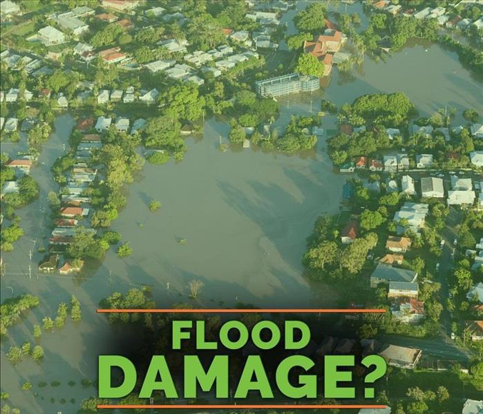
How To Access and Use Flood Maps
4/23/2019 (Permalink)
 Homeowners should know if a property is located in a flood zone.
Homeowners and prospective buyers should know if a property is located in a flood zone. The Federal Emergency Management Agency provides online access to flood maps. Find out more about the resources available for determining the risk of flooding at a residence in Harrisonville, MO.
View the Flood Rate Insurance Map
The National Flood Insurance Program maintains a Flood Rate Insurance Map. This map offers several viewing options and important information:
- Dynamic maps and firm images
- Date of last update
- Records of revisions, amendments and revalidations
A detailed key indicates how levels of risk and flood prevention features are displayed. This map provides a recent assessment of flood risks at any area or property in the country.
Use Other Flood Risk Products
FEMA also offers user-friendly flood risk tools. These non-regulatory resources include graphical risk maps and detailed risk reports. Homeowners can enter their location to access all of the available flood zone information.
Request an Amendment or Revision
Homeowners who increase the elevation of their residences to prevent flooding can request an amendment, revision or recertification. Depending on when these changes took place, an amendment or revision may already be on file. The owner of a modified property on a flood plain should take the following measures:
- Check to see if an amendment or revision is on file
- Request a Letter of Map Amendment
- Request a Letter of Map Revision Based on Fill
Amendments may not immediately be indicated on maps or reports. These modifications can still reduce flood risks and lower the cost of flood insurance coverage.
The Flood Rate Insurance Map indicates the risk of flooding in Harrisonville, MO. Owners of residences located in a flood zone should obtain flood insurance and notify the NFIP or a private insurer in the event of a flood. Storm damage restoration specialists can quickly assess and begin to mitigate damage.